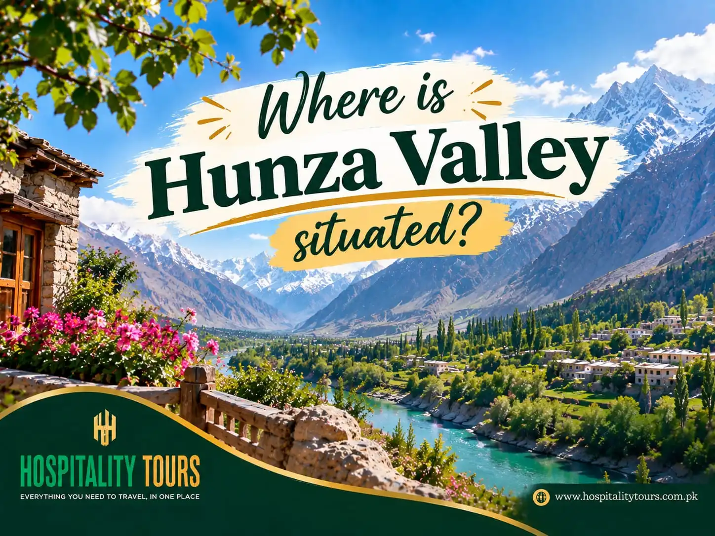
Where is Hunza Valley situated?
Hunza Valley is in Gilgit-Baltistan, northern Pakistan, following the Hunza River and situated in the foothills of the Karakoram Mountains. Its main town of Karimabad is approximately 100 kilometers (62 miles) north of Gilgit city, on the Karakoram Highway and sits at 36.3 degrees north latitude, 74.7 degrees east longitude, and an elevation of 2,600 meters (8,530 feet).
It is the valley that you drive through to get from Gilgit to the Chinese border, and encompasses most of the last 200 kilometers (124 miles) of Pakistan before the frontier.
Putting it on a map
North from Islamabad, keep going until the country runs out. That line ends at Khunjerab Pass, and Hunza is everything for the last few hours of it.
China is to the northeast across Khunjerab Pass at 4,693 meters, with Xinjiang and the Tashkurgan and Kashgar roads to the far side. To the northwest is Afghanistan and the Chapursan Valley which runs up to the Wakhan Corridor. Tajikistan is beyond that, separated from Pakistan by the narrow strip of Afghan territory that the Wakhan forms.
Within Pakistan, Nagar district is across the river to the south and east, Ghizer is to the west, and Gilgit district is to the south. The entire valley is carved by the Karakoram Highway, which is why almost every village is situated along the Highway.
Hunza is a district in Gilgit-Baltistan in the Gilgit division of Pakistan. It was established in 2015 when the former Hunza-Nagar district was divided. Covering approximately 10,000 km^2, the district is mostly uninhabited due to the high elevation, rocky landscape, and ice.
The headquarters of the district is located in Karimabad. Aliabad, located about 7 km from Karimabad and at an elevation of 2,200 m, is the commercial and administrative center of the district. The transport and administrative offices as well as the banks are located there. It is also the destination for the bus routes from Rawalpindi and Gilgit.
With a population of approximately 65,000, Hunza has less people than a single sector of a large city in Pakistan. It is also worth noting that the people of Hunza are scattered over a large area which is comparable to a small country.
Pakistan observes Pakistan Standard Time (PST) which is 5 hours ahead of Greenwich Mean Time (GMT). The time is not adjusted for daylight savings.
Gilgit-Baltistan is constitutionally a part of Pakistan and is included in the larger issue of Kashmir which is also unresolved. Indian authorities also claim the area. While this has no practical impact on travelers, it provides a reason as to why Gilgit-Baltistan is not a full province like Punjab or Sindh.
There are three distinct parts of Hunza and people commonly refer to the area as a single unit. The first part, Lower Hunza or Shinaki, is the first section travelers come across from Gilgit. The villages in this area have an elevation below 2,000 m and the people mainly speak the Shina language.
Central Hunza consists of Aliabad, Karimabad, Altit, and Ganish. This area is the site of the old rulers’ residences, the two forts, and where the majority of travelers lodge. The language spoken here is Burushaski, a language with no known related tongues and is, therefore, a language isolate.
North of Attabad Lake is Upper Hunza, or Gojal, with the side valleys of Chapursan and Shimshal, and extends to the Wakhan Corridor. The languages of this area are related to the Pamir languages and differ from what is spoken further south.
A reasonable approximation for the conditions that existed before the construction of the Karakoram Highway would be that the communities were speaking three different languages within a 100 kilometer radius.
How high is it?
The valley north of Attabad is continuously ascending.
The altitude of the lower villages is between 1,950-2,100 meters. Aliabad is at approximately 2,200 meters, while Karimabad is at 2,600 meters. The altitude of Gulmit and Passu is approximately 2,500 meters, while Sost, the last Pakistani town before the Khunjerab Pass, is at 2,800 meters. The highest permanently settled valley in Hunza, Shimshal, is at approximately 3,100 meters. The altitude of Khunjerab Pass is 4,693 meters.
This range is important when considering what you are physically capable of when undertaking such a journey. Someone travelling from Islamabad, which is at approximately 500 meters, to Khunjerab in two days, would mean gaining over 4,000 meters, with the last 1,000 meters gained in a single day.
What mountains are adjacent to it?
Hunza is bounded by some of the highest mountains on Earth.
At 7,788 meters, Rakaposhi is the highest of the peaks visible from Karimabad in Nagar District. Across from Baltit Fort is a massif consisting of Ultar Sar at 7,388 meters, Lady Finger and Hunza Peak. Further along the Nagar side are Diran and Golden Peaks.
In higher districts of Hunza, Distaghil Sar, at 7,900 meters, is the highest point, located in the country of Shimshal. Batura Sar and Passu Sar rise over the Gojal region.
The massif containing the Batura glacier, which stretches for 57 kilometers and is the second longest outside the polar regions, houses Passu Sar and Batura Sar. Other glaciers, such as Ghulkin and Passu, come down to within a walk of the Karakoram Highway, and Shishper, which is located above Hassanabad, has produced many outburst floods in recent years, including a flood in 2022 which washed away the Karakoram Highway bridge.
The river that made it
The Hunza River begins as a combination of streams from Khunjerab, Chapursan and Shimshal, and flows through the valley, eventually meeting the Gilgit River which meets the Indus near Jaglot. Follow the water long enough and it reaches the Arabian Sea.
Precipitation in the valley is a mere couple of hundred millimeters a year at most. The green terraces that make for the famous pictures of Hunza are only maintained by the centuries old practice of glacier-fed water diversion by the locals. Step off the irrigated ground and you are on bare scree within a few meters.
Relationship to other places
Gilgit is about a hundred kilometers and two hours to the south, and has the nearest airport.
Islamabad is roughly 600 to 750 kilometers away, depending on the route, and takes 13 to 20 hours to drive to, or an hour by air to Gilgit and then the drive up.
Skardu is six to eight hours east by road through Gilgit.
The Chinese border at Khunjerab is about two hours north of Sost, which is about three hours north of Karimabad.
Kashgar in Xinjiang is a long day beyond the border for anyone crossing overland with the right paperwork.
Things people get wrong about where Hunza is
Hunza and Nagar are not the same place. They are different districts across the river from each other and were rival states for hundreds of years. Rakaposhi View Point, Minapin and Hoper are in Nagar, but almost every Hunza itinerary includes them.
Hunza is not in Khyber Pakhtunkhwa. The confusion comes from the drive, since you spend hours in KP on the way up through Mansehra, Besham and Kohistan before crossing into Gilgit-Baltistan near Chilas.
Hunza is not in the Kashmir Valley. Gilgit-Baltistan is part of the wider disputed region in legal terms, but Srinagar is hundreds of kilometers away across the Himalaya and has nothing to do with a trip here.
The tale of longevity is a myth. Books published in the mid-20th century claimed that people in Hunza lived to be over 120 years old. This urban legend sold a lot of apricot products. There are no official birth records to support this claim. What is more interesting is that the valley has strong community development and high literacy rates.
Karimabad and Baltit are the same town. The name Baltit is the older version and is used to refer to the fort.
What its location means for your trip
Being this far north and this high changes a few things.
There is no airport in the valley. You fly to Gilgit and drive, or you drive the whole way. Flights to Gilgit out of Islamabad should not be booked with a very short connection because Gilgit flights cancel for cloud in any season and it happens a lot.
It is a dry climate. Hunza gets very little summer rain, and the monsoon that closes roads in July and August does its damage further south in Kohistan rather than here. The valley is cold at night in every month and snowbound in the side valleys through winter.
The Karakoram Highway stays open to Sost all year, so Hunza is accessible in January when Naran and Deosai are not. What closes is Khunjerab, and the side roads to Borith, Shimshal and Chapursan.
Foreign travelers will show their passports at the highway checkposts. Permits are not needed for Karimabad, Attabad, Gojal, Passu, or Khunjerab, and a park fee is required for Khunjerab National Park.
Coverage for mobile phone signals is sporadic in Gojal and one service provider dominates the area. Cash is useful as the Aliabad and Gilgit ATMs are unreliable and small guesthouses and boat operators do not accept cards.
What to check and what to avoid before you go
Make sure your operator has given you the status for Khunjerab this week as opposed to last year's info.
Make sure you ask which part of the valley your hotel is in. Booking listings often lump together Karimabad, Aliabad and Attabad as simply ‘Hunza’ and they can take up to an hour to get to any of the other two from the other.
Make sure you confirm if the side roads on your itinerary require a 4x4. Borith, Hoper, Shimshal and Chapursan all require a 4x4 and a saloon car should not attempt them.
You should give yourself a night at Hunza elevation before heading up to Khunjerab and drink more water than you think you need.
Do not expect to be driving mountain roads at night and do not schedule a flight out of Islamabad the same day you will be traveling down the highway.
Do not expect to be able to sort cash reconciliation at your destination.
Frequently asked
Where is Hunza Valley? About a hundred kilometres north of Gilgit on the Karakoram Highway in Gilgit-Baltistan in northern Pakistan, along the Hunza River in the Karakoram range.
Which province is Hunza in? Hunza is in the administered territory of Gilgit-Baltistan, and not in any province. Hunza was made a district in 2015.
How far is Hunza from Islamabad? Between 600 and 750 kilometers, depending on the route, or a one hour flight to Gilgit and a two hour drive.
Which countries does Hunza touch? China through the Khunjerab Pass, and Afghanistan through the Chapursan Valley. Tajikistan is beyond the narrow Wakhan Corridor of Afghanistan.
What is the height of Hunza? The lower villages are at 1,950 meters, and Shimshal is at 3,100 meters. Karimabad is at 2,600 meters, and the Khunjerab Pass is at 4,693 meters.
Is Hunza in Kashmir? Though Gilgit-Baltistan is in the Kashmir region legally, it is separated by the Himalaya and functions as a different region.
What language is spoken in Hunza? In central Hunza, Burushaski is spoken, Wakhi is spoken in Gojal, Shina is spoken in the lower valley, and Urdu and English are spoken as well.
Is Hunza the same as Nagar? No, they are across the river from each other, but most tours will go to both.
We know you've found the location, now we can help you with the specifics like how long you’ll stay, which route you’ll take, and what will be open during your desired dates. We’ll handle the logistics once we have your desired date of travel and how large your party will be. We’ll plan the route, book the hotels in the correct part of the valley, arrange transportation with drivers who are familiar with the side roads, and give you the total cost before confirming anything.
WhatsApp: +92 341 111 3777
Email: info@hospitalitytours.com
Head office: Office No. 2 & 3, Ground Floor, Parish Rose Plaza, Opposite NUST Gate 4, Sector H-13, Islamabad