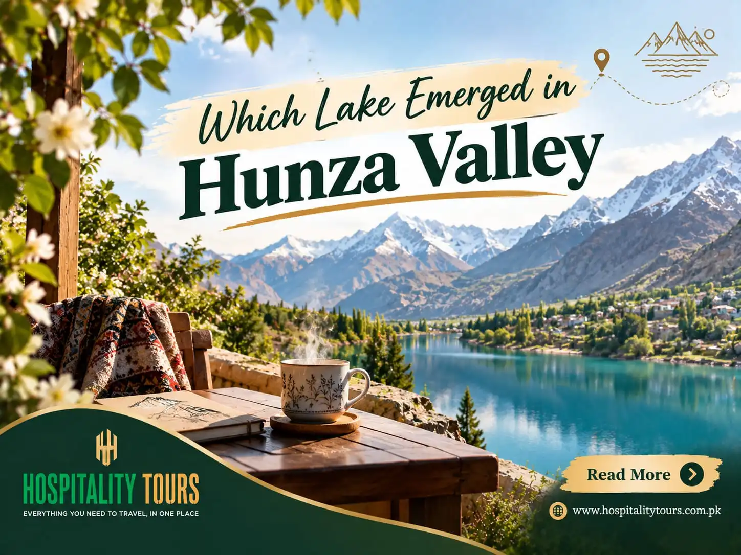
Which Lake Emerged in Hunza Valley?
The only correct answer is Attabad Lake, also known as Gojal Lake. There was no lake in this area prior to January 4, 2010. That morning a portion of the mountain near Attabad Village in Upper Hunza slid into the valley, and covered the Village and blocked the flow of the Hunza River. It took 5 months for the water to rise behind the blockage and by June the valley which once housed villages and farms and orchards, was now filled with a twenty-one kilometer long lake.
People are often surprised that this isn't a glacial lake. This is actually a more recent formation and in many of the photos you will see people standing on the shores of this lake, it is actually much, much younger. This is how it was formed, the cost, and what this area is like now.
January 4, 2010
The slope near Attabad gave many signs of instability. It was only a matter of time. In 2002, there was an earthquake which took place in the adjacent area and it was then that several families were relocated outside of the danger zone. Several hours later in the morning of January 4th, the slope broke and sliding. Attabad Village was completely destroyed. All 26 houses in Village and 20 lives were lost. The slide continued to cross the valley and blocked the entire flow of the Hunza River, damming the river. The obvious part of the disaster was over in the blink of an eye. The other, not so obvious, but more important, part had just begun.
Fifteen months of water rising
A river with nowhere to go, simply rises. Everyone could see how fast the valley walls were being consumed by the relentless flow of water behind the dam each and every week.
The village of Ayeenabad was consumed. Lower Shishkat and part of Gulmit, the main town of Gojal, were under water. Over 170 houses, 120 shops, and approximately 6,000 people above the town lost their homes and nearly 25,000 more were cut off from the rest of the country when the Karakoram Highway was removed from the surface by the deluge.
Before water overwhelmed the spillway, engineered over the debris of the dam, by June of 2010, the lake was flowing over it. The worst case scenarion, the total failure of the dam, would have sent an outburst flood down the Hunza and Gilgit valleys and into the Indus with devastating consequences on the towns in the path.
When the river settled, the lake had a surface area of 400 million cubic meters. It was 21 kilometers long and 119 meters deep.
The boat years, 2010 to 2015
The Karakoram Highway is not picturesque for the people who live next to it. It’s the only highway. After an expansion, 19 km of it are underwater. Gojal was cut off from Hunza and everything to the south.
What remained was a boat network. For five years, cargo, fuel, flour, schoolchildren, sick people who had to go to the hospital in Gilgit, traders, and tourists all used the boats to transport everything. Boats also transported people to and from the Chinese border in Sost. It took two hours to cross the lake, and during bad weather the crossing was not possible.
Due to the double loading and unloading of boats, prices increased. A lot of fruit growers in Gojal lost their market because they couldn’t send their apricots and cherries south anymore. There were a lot of family protests because people demanded compensation, but it took a long time to get it. The Frontier Works Organisation blasted the dam in March and again in May 2012 to lower the lake and relieve the pressure valve.
This is the other side of the story. For the villages upstream, the lake was not a wonder. It was five years of hardship.
The tunnels
The realignment was the only permanent solution. Instead of trying to drain the lake, they constructed the highway above it.
The China Road and Bridge Corporation added 24 km to the Karakoram Highway, using the waterway and making 5 tunnels totaling almost 7 km. The tunnels, opened on 2015-09-14, are known as the Pakistan-China Friendship Tunnels.
They changed everything. Trade with China through Sost operated as normal, Gojal reconnected with Hunza, and what was a 24 hour drive, with a 15 hour wait for a boat, was reduced to a 1 hour drive on new highway. That incredible change was coupled with a new attraction for travelers. People now stopped at Attabad instead of driving past it.
Why is that Water Turquoise?
There is no filter. Glaciers grind rocks into very fine sediment called Rock Flour. That fine sediment stays suspended and scatters light back to the blue and green region of the visible spectrum.
The color changes with the load and the position of the sun, with the early summer melt producing the strongest of colors, and the late autumn clear dark colors. The lake freezes in the winter to change the rest of the landscape.
The Lake Now
Tourist resorts arenow built on the lake shore. Shore front restaurants offer a view of the lake, and in the summer weekends the jetties are full of customers. The resorts, restaurants, and char hotels that were constructed during the 5 years the lake separated the villages from the rest of civilization are now hired to provide services that the construction of the lake made possible.
At Attabad Lake
Where. Presently located 45 minutes north of Karimabad on the road to Passu, Gulmit and Sost, Hunza, Pakistan. Take the tunnels to get the to lake and its beautiful, serene shoreline.
When. May to October would be ideal for a nice scenic boat ride, or for simply enjoying the warm weather on lake side. Mid to Late October would be good for Leaf viewing. For a different kind of viewing, come in December, January or February when the lake edges freeze over, bring lots of layers for the cold weather and enjoy the crisp air and stunning landscape with a nearly empty trail. The drive is open year round.
How Long. Stopping for about an hour on your northern route of the Hunza Valley is better than not stopping at all. Overnight stay, however, is really the best way to make the most of your time on the lake. Make sure to see the lake during sunrise and sunset for the most beautiful scenery and to avoid the most crowds.
What. Boats, and in recent years, jet skis! As long as you wear a life jacket and take the boat for the entire rental time, you'll be able to enjoy the glacier cold water. The path of the lake is free and peaceful to walk along as well. If you're a photographer, shoot from the vantage points along the old road for more unique shots.
Tone and Voice (8th Grade): Blogger.
Where to stay. You can find resorts right on the water with rooms that face it and more peaceful guesthouses about fifteen minutes away in Gulmit. Rooms with the view are snatched up for July and August.
What is near by. Gulmit is the old capital of Gojal and is nearby. Beyond are the Passu Cones, the Hussaini suspension bridge, Borith Lake and the Batura and Passu glaciers. Sost and Khunjerab Pass are further up the same road. Karimabad, Baltit and Altit Forts are in the opposite direction. People should really consider staying one of the two nights they spend in Hunza up here rather than just doing it as day trips.
Which lake did you mean?
Attabad is the one that appeared, but Hunza and the surrounding areas have several lakes, and names become interchangeable in search pages.
Borith Lake is located just above Ghulkin near Passu. It is natural, saline in some parts, and a stopping point for migratory birds in both spring and fall. It is much older than all of us.
Rush Lake, above Nagar near Hoper, is one of the highest alpine lakes in the world at about 4,700 meters, and takes a multi-day trek to get to.
Karambar Lake is really located in Ghizer and is definitely not in Hunza.
Satpara and Kachura Lake are both located in Skardu and are several hours away in Baltistan.
If anyone tells you the story about the lake that appeared and swallowed a highway, they mean Attabad.
Is the lake stable?
The barrier spans 750 meters and is made up of natural debris with an engineered spillway. It has continuously passed water since 2010. Monitoring of the barrier is ongoing and the road no longer runs on the flood plains of the valley, which was the main exposure.
The overall point is that this is an active landscape. Northern Pakistan is located where three mountain ranges intersect, the slopes are steep and loose, and glacier melting is increasing. The Shishper glacier, which is located downstream, has produced multiple outburst floods in the recent past and destroyed the Hassanabad bridge on the Karakoram Highway in 2022. This is not a reason not to visit, but this is a reason to visit with people who keep up to date with road conditions and carry a flexibility of schedule.
What to remember
Attabad is a beautiful place that is also a ruined place. Twenty people died. The people who farmed those terraces for many generations, lost everything. Many of the displaced were still waiting for reparation when the lake was formed. The water you are photographing has now replaced someone’s orchard.
Both statements can be true at the same time. The travel experience improves when you realize this. The guides from Gojal will tell you the building locations if you ask, several of them lost family farms to the lake. That information is more valuable than the photo.
Quick answers
Which lake was formed in the Hunza Valley? Attabad Lake (also known as Gojal Lake).
When did it form? It formed on January 4th, 2010. From then until June of that year, the lake continued to fill. In June, the lake finally burst through the barrier and began to flood.
Is it natural or man-made? The lake was natural. Of course, no one built it, since it was caused by a landslide and not a dam. The outflow channels were constructed by humans.
How big is it? Around 21 kilometers long, with a few hundred meters of depth, and approximated to be around 400 million cubic meters of volume.
How many people died? Approximately 20 during the actual landslide. Many thousands had their land and homes washed away by the flooding.
Why is the water that color? The water appears to be this way because the melted ice carries glacial silt.
Can you swim in it? No. It is far too deep and cold and has no lifeguards! If anything, you should boat on it. You should also be wearing a life jacket, unlike what you would carry.
Is the Karakoram Highway open past it? Yes. The realigned road section, with 5 tunnels, opened in September 2015 and is open year round, unless there is inclement weather.
What was there before? There were orchards, homes, and stores in Ayeenabad, as well as part of Shishkat and Gulmit, and a nineteen kilometer stretch of the Karakoram Highway.
With us
Get transport, lodging, and guides on your tour from Hunza and Gojal with Hospitalitytours.com.pk. Our trips begin at our Islamicabad location. Time at Karimabad, rooms on the lake, drivers with local knowledge and licensed guides are all part of our travel arrangements. Give us your travel dates via the WhatsApp listed below, and we will arrange your trip. Contact information is after the following.
Try it for yourself
Give your travel dates, the number of people in your group, and whether you plan for Hunza to be the full trip or just one of several stops on a longer northern route. We will arrange hotels, transportation with a driver, and a licensed local guide. We will give you a trip price before finalizing your arrangements.
Most travelers like to spend three days in Hunza. One night is spent on the lake, and two nights are spent in Karimabad. We will tell you what we think are your best travel options if your dates don't coincide with this.
WhatsApp: +92 341 111 3777
Email: info@hospitalitytours.com
Web: www.hospitalitytours.com.pk
Head office: Office No. 2 & 3, Ground Floor, Parish Rose Plaza, Opposite NUST Gate 4, Sector H-13, Islamabad